Project
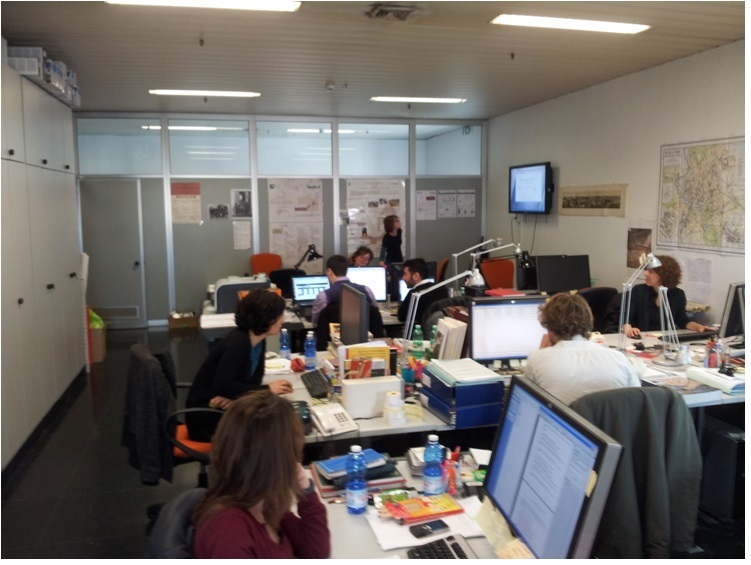
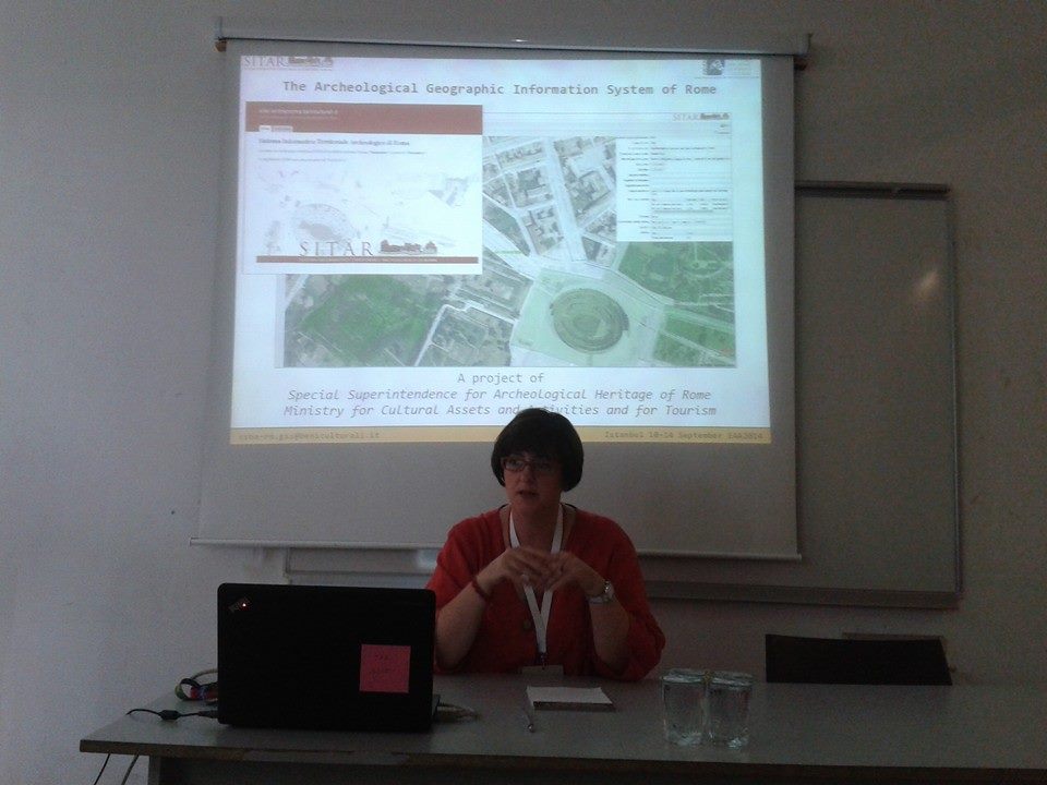
SITAR – Sistema Informativo Territoriale Archeologico di Roma/Geographic Archaeological Information System of Rome – was established in 2007 to meet the Soprintendenza Speciale di Roma’s need for a technological tool capable of supporting the complex work of high-quality local planning that would place the strategic value of cultural heritage at the heart of development. Its goal is to make archaeological knowledge free and accessible.
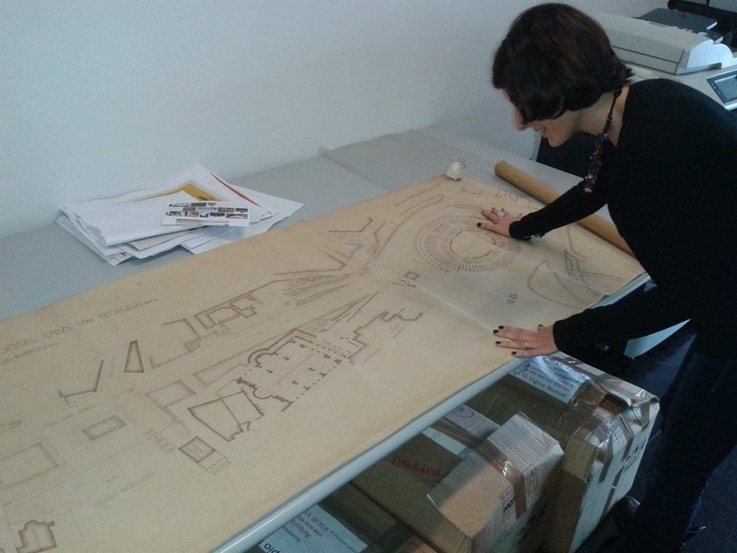
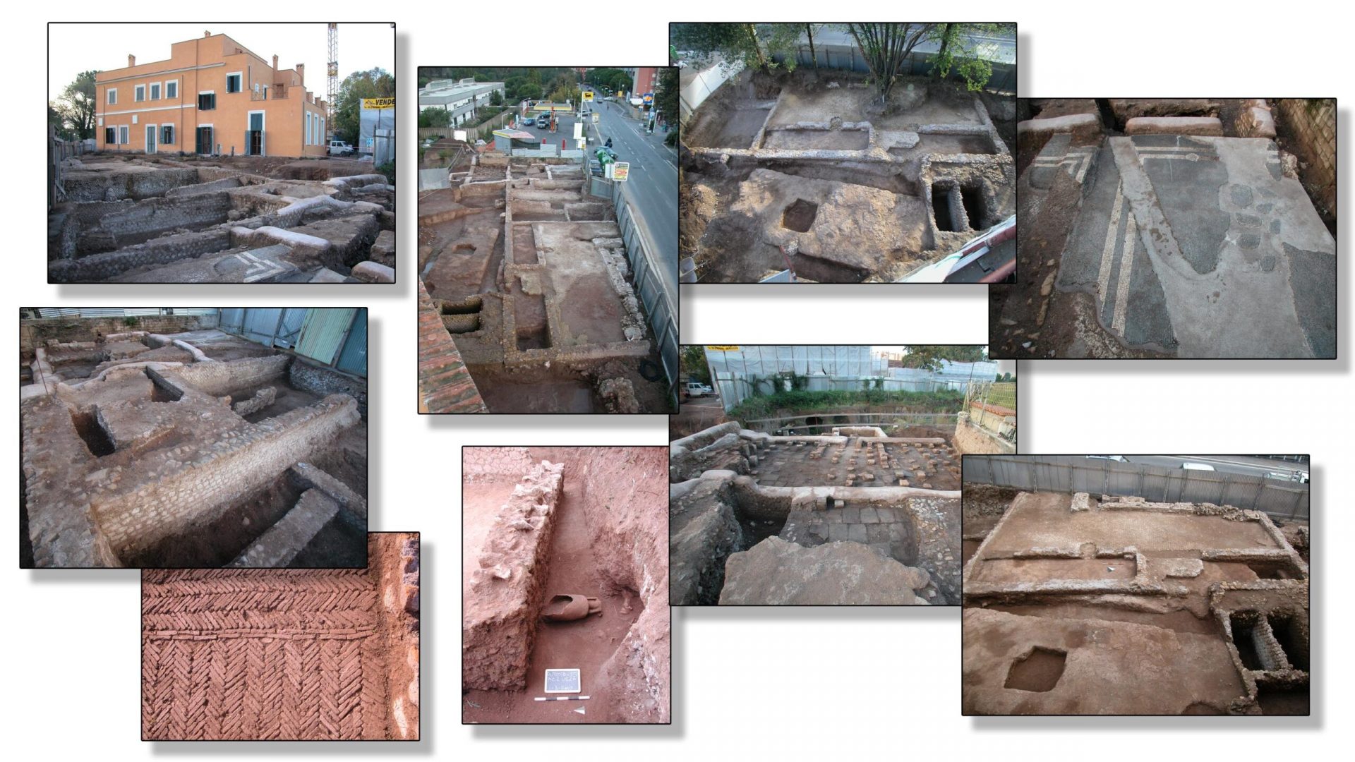
The project is enriched day by day with information thanks to the collection of archive data and constant updates on new discoveries in the Rome area. The Digital Platform is a space in which all internet users can interact and takes the form of a tool serving not just scientific research and local planning, but also the community: by making the data accessible, we aim to raise awareness among citizens of the cultural importance of urban and suburban spaces and their protection and conservation.
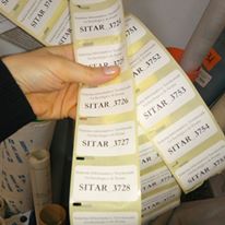
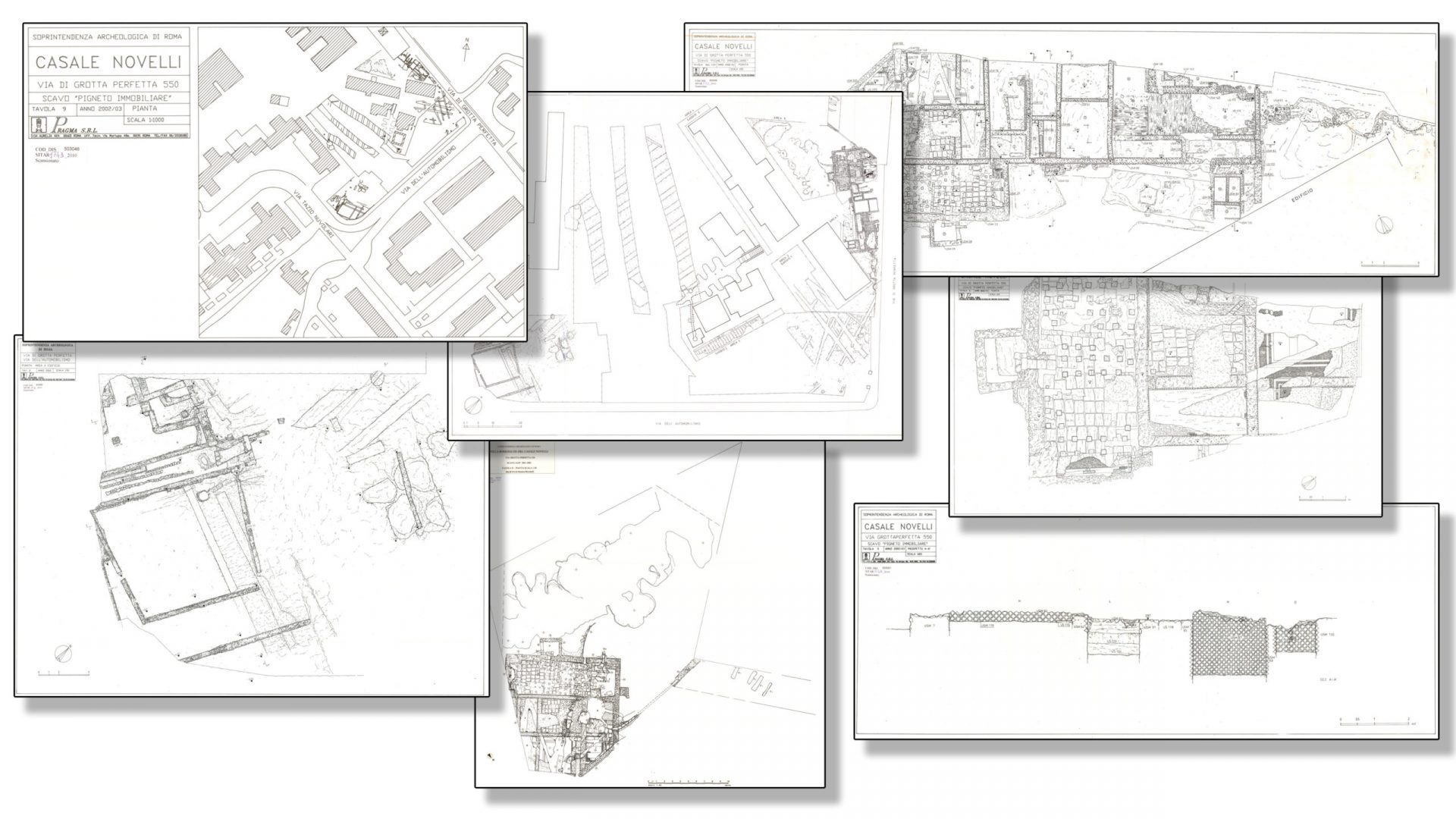
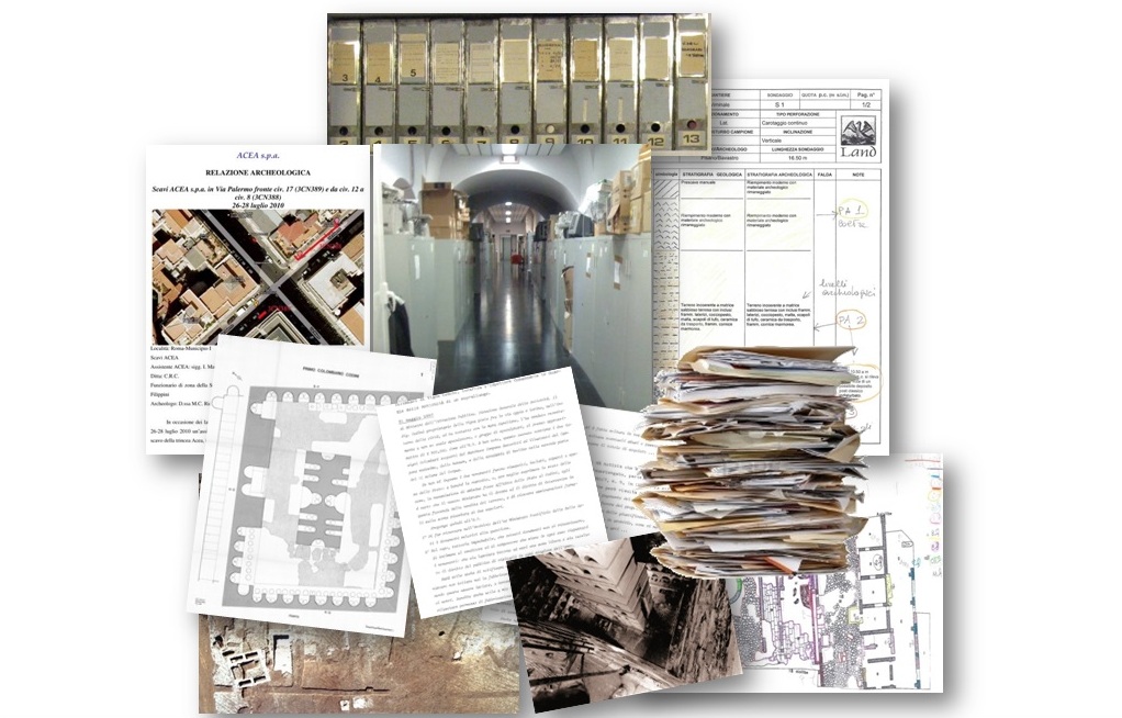
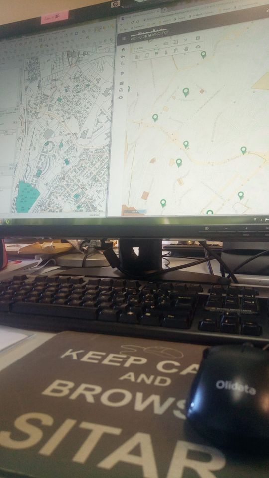
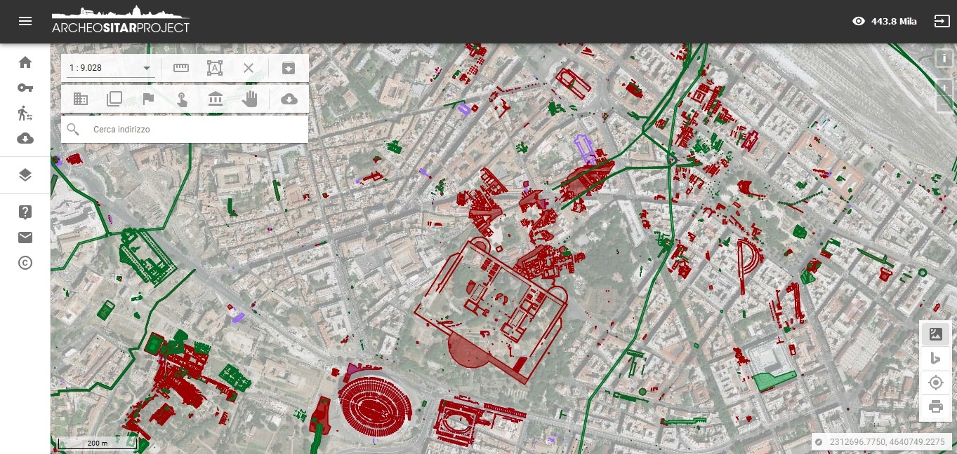
WebGIS SITAR is the digital mapping tool that makes all the scientific data in the Soprintendenza Speciale di Roma archives easy to use and freely accessible. The data are organized into three layers, reflecting the system’s logical structure Origini dell’Informazione (Origins of Information), Partizioni Archeologiche(Archaeological Subdivisions) e Unità Archeologiche(Archaeological Units). Another fundamental tool for knowledge sharing is the Digital Library, a genuine search engine that allows users to search all the documents present in SITAR and to filter and save the results according to their specific needs. The new dedicated project website supports these two tools. The website is not just the official channel for the presentation of the SITAR Project itself and the results obtained so far, but also a privileged access point to the Digital Platform and to information on the most recent archaeological discoveries in the Rome area.